In short
- Gatlinburg is the busiest entry with direct access to Sugarlands and Newfound Gap.
- Townsend offers a quieter route to Cades Cove and the western park.
- Cherokee provides the primary North Carolina access to the eastern mountains.
In this article
The park spans over 800 square miles across Tennessee and North Carolina. It lacks a single main gate. Choosing the right entrance saves hours of driving. You need to pick the access point closest to your planned hikes and scenic drives.
What is the Gatlinburg entrance?
The Gatlinburg entrance is the primary Tennessee gateway into the park's northern region.
It sits near 107 Park Headquarters Road. This entrance leads immediately to the Sugarlands Visitor Center. From here, you can easily access Roaring Fork Motor Nature Trail and Laurel Falls. Expect heavy traffic here in mid-summer and October.
Why use the Townsend entrance?
The Townsend entrance is the best route for accessing the western side of the park.
This entrance is known for lower traffic compared to Gatlinburg. It leads directly to the Townsend Wye, a popular river fork where visitors relax. You will use this entrance to reach the Cades Cove area. It is a quiet alternative for accessing Tennessee sections.
| Entrance | State | Best For | Traffic Level |
|---|---|---|---|
| Gatlinburg | TN | Sugarlands, Roaring Fork, Laurel Falls | High |
| Townsend | TN | Cades Cove, Townsend Wye | Low to Medium |
| Cherokee | NC | Newfound Gap, Oconaluftee | Medium |
How do you enter the park from North Carolina?
The Cherokee entrance is the main access point for the North Carolina side of the park.
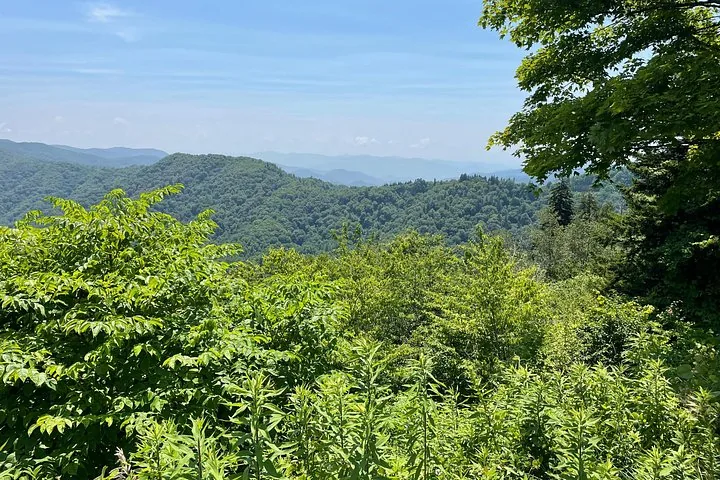
This entrance sits at the southern end of the park. It provides direct access to the Oconaluftee River Trail. From Cherokee, you can drive north toward Newfound Gap. This route is essential if you approach from the southeast United States.
Which entrance is closest to Cades Cove?
Townsend is the closest entrance to Cades Cove.
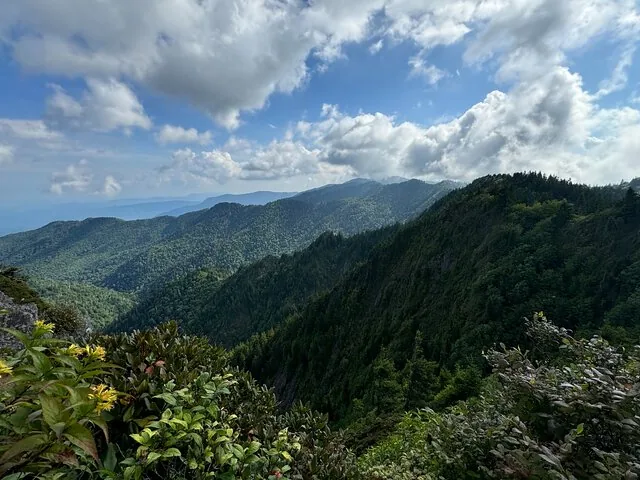
Entering through Townsend keeps you out of Gatlinburg traffic. Cades Cove features an 11-mile, one-way scenic driving loop. It is known for wildlife viewing, including black bears and white-tailed deer. Traffic moves very slowly in summer and fall.
How do you access Newfound Gap and Kuwohi?
You can reach Newfound Gap and Kuwohi easily from both Gatlinburg and Cherokee.
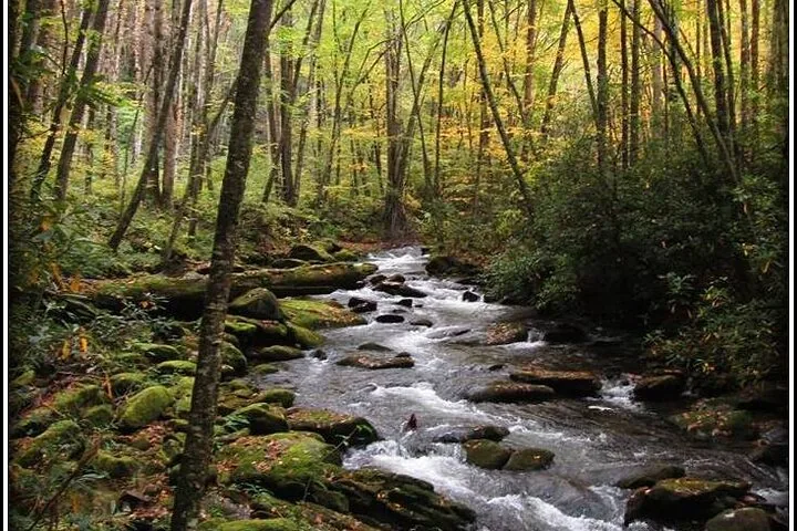
Newfound Gap is a mountain pass on the state line at 5,046 feet elevation. The road connects Gatlinburg to Cherokee directly. Kuwohi is the highest peak in the park at 6,643 feet. The access road to Kuwohi is closed in winter.
What should you know about driving in the park?
Navigation inside the park boundaries is challenging due to limited cell service and winding roads.
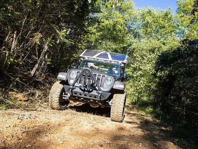
Driving is the primary way to access trailheads across the 384 miles of park roads. GPS navigation is often unreliable and leads to dead ends. Always bring a physical park map. A parking tag is required for any vehicle parked longer than 15 minutes.
Questions travellers ask
Do I need a reservation for Great Smoky Mountains National Park?
No, you do not need a reservation to enter the park. The park is open 24 hours a day, year-round. However, you must buy and display a parking tag if you park for more than 15 minutes.
Can you drive through the Great Smoky Mountains?
Yes. The park contains 384 miles of scenic roads, including 238 paved miles. The main route connecting Tennessee and North Carolina runs over Newfound Gap.
How much does it cost to get into Great Smoky Mountains National Park?
The park is free to enter. There are no entrance gates. You only pay for a parking tag, which costs $5 daily, $15 weekly, or $40 annually.